The schematic for my layout is a basic point to point design with reverse loops doubling as staging. Through the use of the helix, we can have points west and east share the same reverse loop and staging areas. We can also choose to run continuous for exhibition by opening up the double crossover at the throat of the staging yard.
The design includes four “locations” including Ft. Benton, Big Sandy, tiny Loma, MT and the large trestle bridge over Coal Bank Coulee. Between each location is at least some hidden trackage that will allow scheduling trains to provide the illusion of greater distances between towns.
Points EastTrains arrive from Havre, MT and points east via the helix and hidden storage. |
gg |
Big Sandy, MTA nice mid-size prairie town with lots of grain elevators and a stop on the Western Star route to boot. |
|
Hidden TrackageA short jaunt across the prairie. |
|
Loma, MTThis little town still has a number of elevators and a small standard depot. |
|
Hidden Trackage/HelixDown to the lower level. |
|
Fort Benton, MTThe main town on my layout. Operations here have been expanded a bit beyond prototype to host a engine terminal. |
|
Hidden Trackage |
|
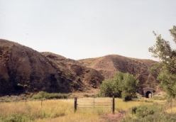
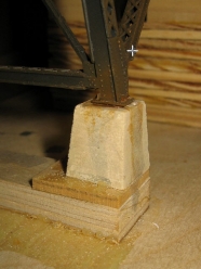
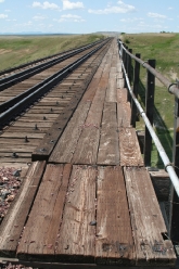
Coal Banks Coulee / Crocon Du NezThis scene compresses two scenic elements from the prototype: Coal Banks Coulee tall steel trestle and a short tunnel at the odd little geographical feature of Crocon du Nez. |
|
Hidden Trackage/Helix to Points WestThis is the route to Great Falls, the major destination of this subdivision. |
|
Westbound/Eastbound StagingThe helix aligns points west and east into the same orientation. A double crossover provide reverse loop for both directions. Orienting the crossover to the straight through position allows continuous operation of a single big loop. |
|


